Honestly, what’s left to say about the Kenai River?
A commenter at a recent Kenai Planning and Zoning meeting called it “this body of water we virtually worship.” She was speaking about an unpopular proposal for excavation in a riverside marsh, and referred sardonically to the legal force field projected around the river by setbacks, permitting and multiple management agencies. But the words she chose evoke the entire web of cultural, economic and, yes, spiritual interest that stretches from the Kenai into surprising corners of local life. The river’s name has power. A proposal for similar excavation beside a similar but different river might not have packed a Kenai Planning and Zoning commission meeting with irate opponents, nor inspired salmon-emblazoned signs of protest beside the highway. Sure, the property values at stake also played a role, and perhaps in some cases the river was being rhetorically “used” — as another speaker at that meeting said — for a desired outcome, but so it is with things people worship.
All this has been written about before. So has the gleaming opaque blue that the Kenai takes on in summer. So has the land-shaping force of its erosion, its cold swiftness, its salmon — a fish that encapsulates nature’s absurd generosity as perfectly as it encapsulates nutrients and calories — and its almost invisible fragility. What else is there to say about the Kenai, except that it gave me a great kayak trip last Sunday?
I’m sure you remember how perfect the weather was: the clouds were mere white feathers in the big benevolent blue overhead, and I came off the river with a sunburnt nose and a pronounced T-shirt tan. One day I may write a column about floating the Kenai under drizzling overcast, but last weekend’s weather was from a postcard.
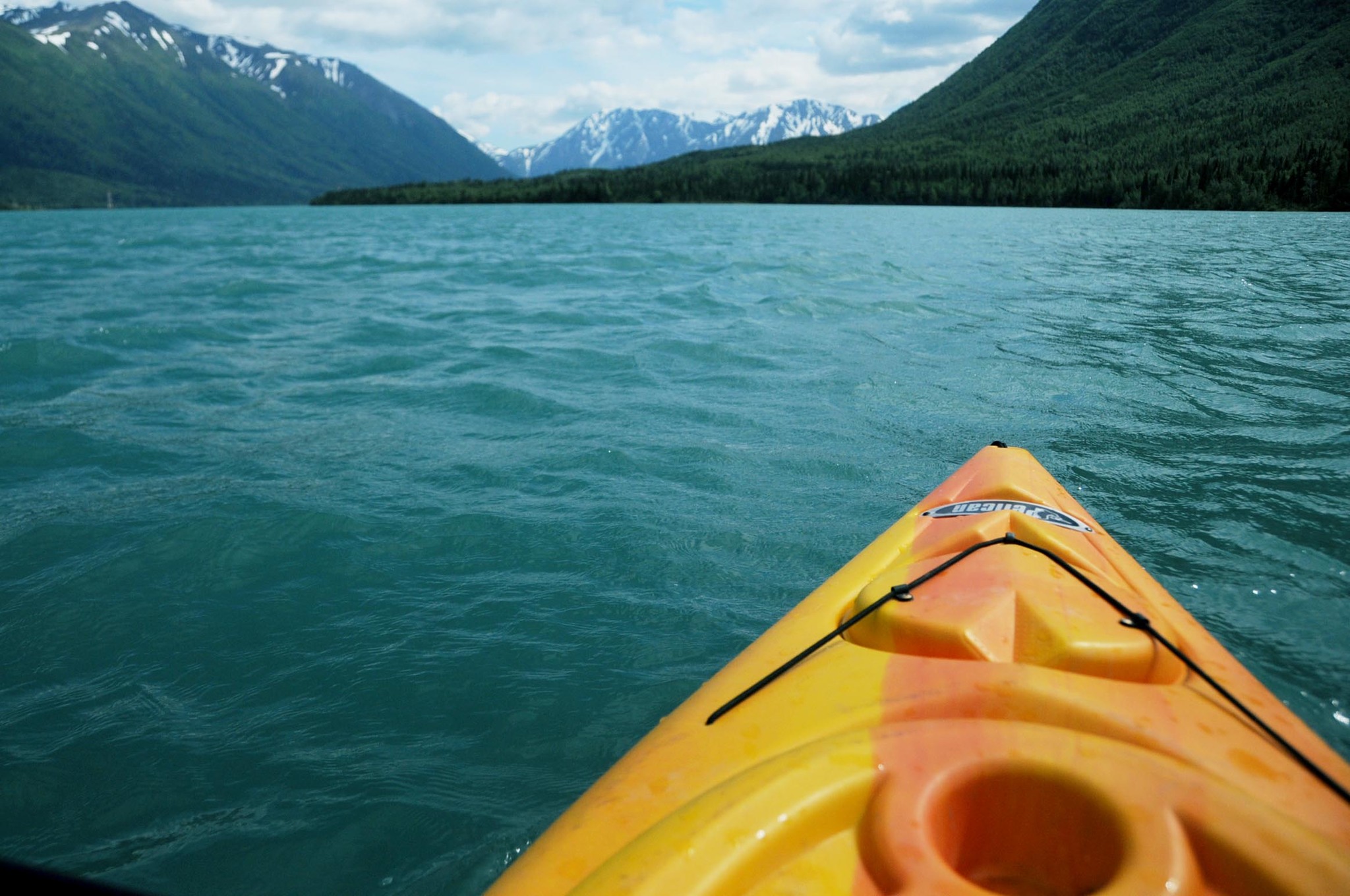
Paddling downriver from Morgan’s Landing in Sterling to Cunningham Park in Kenai gave us a chance to experience the Kenai’s variety. In the first stage of the trip we learned to look ahead for the angry ridges of foam that marked submerged boulders, and to distinguish them from the normal frothing and occasional whitecaps on the river’s surface. The kayaks rode the mild chop just fine, though waves sometimes splashed over their bows and we certainly got wet. Nobody hit a boulder. Soon we’d navigated past Moose Meadows and Soldotna Creek Park, the current moving us faster than I’d expected.
After Eagle Rock, the river gradually broadened and began to twist. The tide canceled out the current so the paddling became more like crossing a still lake than navigating a river. A fish leapt in front of my kayak. One of our group, moving slowly along the muddy bank, spotted bear tracks leading from the water into the tall grass, dense and impenetrably green, that now surrounded the river. Eventually we came to Cunningham.
Rivers are almost a universal metaphor for time, so it’s tempting to contemplate the Kenai’s change from a fast current laced with boulders and shallow rapids to a broad, lazy estuary lined with meadows, and spin some lyrical analogy about the vigor of youth giving way to restful age as we paddle along the course of life. But this bores me even as I sketch it out, and as I said at the top, enough has already been written. So here’s wishing you a chance to get out soon on the entirely nonmetaphorical, very real and very wet Kenai River.

