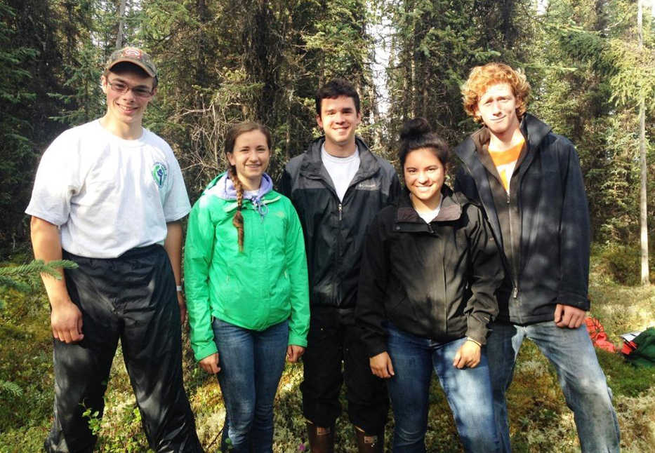
“The GPS says the plots are on the other side of the swamp in front of us. There isn’t a way around it,” Grant says as we assemble our gear.
“I bet we can find a higher path that keeps us out of the water a bit … let’s give it a shot,” I reply.
Grant Knauss leads the way, navigating by GPS and his innate sense of direction. I watch as the five crew members discuss their options for staying dry. They choose to cross on a set of taller hummocks, and help each other by offering a hand to the next person in line. We continue on and locate our first plot of the day. Grant swaps his GPS for a compass to find north, south, east and west from the center of the plot.
“Take two steps south. OK, you’re right on west.”
Matthew Zorbas places a pin flag to mark the western boundary. With the plot established, Haley Buckbee, Talon Musgave, Whitney Esteban, Grant and Matthew begin their detailed collection of data.
“Three PIMA, lab tea, caribou lichen, f-moss,” Haley repeats as she records Talon’s vegetation point-intercept findings at meter 2.5 of the plot.
A few days ago, these plant species were a foreign language. “PIMA” is short for “Picea mariana,” the scientific name for black spruce, the predominant tree species in this, and many of the plots. Lab tea is short for Labrador tea. F-moss is Haley and Talon’s abbreviation for feather moss, the brilliant green that accounts for most of the ground cover in our black spruce forests.
To my right, Matthew is busy tallying trees by size class, using calipers to measure D.B.H. (diameter at breast height) and marking the trees he measures with a yellow wax pen. Whitney meticulously records his findings, asking for clarification when she needs it. Grant assists by using an instrument called a hypsometer to determine the height and location of selected trees in each size class. As each group finishes the task at hand they move on quickly to another — verifying accuracy as they go.
Six weeks prior, the same five high-schoolers walked in to the Visitor Center at the Kenai National Wildlife Refuge and met each other for the first time. Over the weeks that followed, a culture of respect, support, and honest work ethic was established. This culture allowed us — the Youth Conservation Corps — an opportunity to assist the Refuge’s Fire Management Program with a monitoring project on the 8.5-mile fuel break being constructed around the community of Sterling. The fuel break will serve to better protect residents from wildfire, maintain firefighter safety, and allow for naturally ignited fire or prescribed fire to benefit wildlife habitat. To accomplish the objectives of the fuel break, hazardous (flammable) vegetation will be manipulated, reduced, or removed through a variety of techniques.
Fuels (or vegetation) monitoring is a key component in assessing the effects of these treatments. The 2016 Youth Conservation Corps assisted in surveying 21 of 75 16-meter plots within the fuel break boundaries. Monitoring allows the Fire Program to use the “best available” science to make decisions about how to manage the treatment of flammable vegetation. Plant identification, tree tallies, shrub density, down and woody debris, vegetation class, and topographic details about the plot were just a few of the elements included in fuels monitoring. Precision and attention to detail were of critical importance during this project, as the data gathered enters into not only a local or regional database, but a national one as well.
The YCC crew surprised me — their leader — and the fire staff with their ability to complete about five plots per day with good data integrity for the duration of the project. This was a great opportunity to learn a number of skills that will serve the crew well in everyday life (a sense of direction, knowledge of local plants), backcountry pursuits (GPS and compass navigation), and a way to better understand fire management on the Refuge.
Maybe, just maybe, this project served to inspire a few of the next generation botanists, foresters, fire management officers, youth crew leaders, conservation advocates — or keepers of the Kenai National Wildlife Refuge.
Alexandra “Allie” Cunningham was the YCC Crew Leader this past summer at Kenai National Wildlife Refuge. Find more information about the refuge at http://www.fws.gov/refuge/kenai/ or http://www.facebook.com/kenainationalwildliferefuge.

