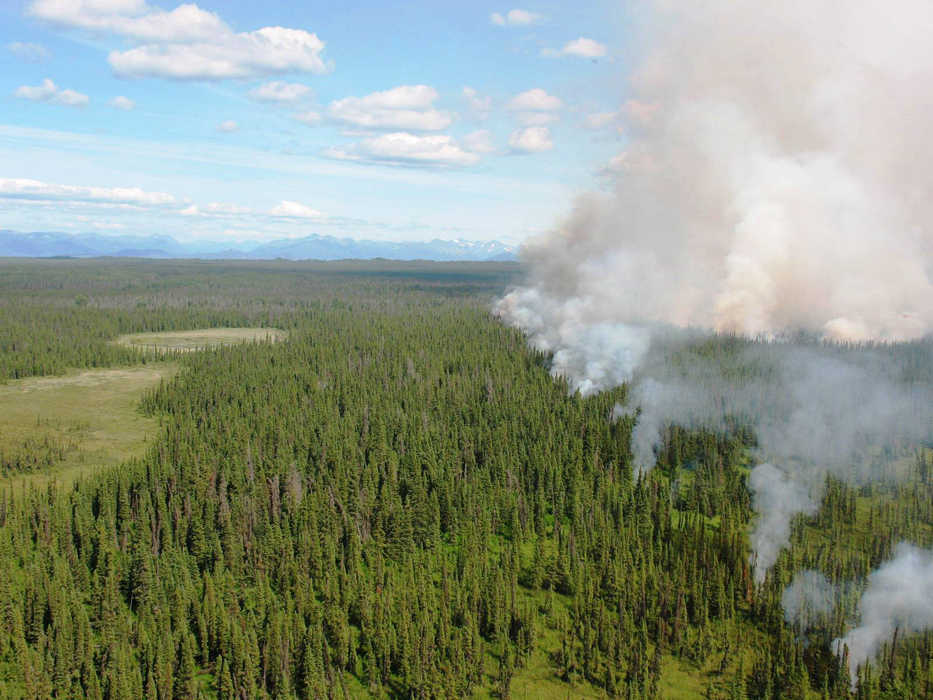
Over 100 years ago, our nation adopted its first policies about dealing with wildfires. A gigantic forest fire in Idaho, which burned 3 million acres, was the main reason the topic was brought up. People as far away as Watertown, New York, were affected with smoke and ash fallout. The sun was obscured by smoke, and some people were having difficulty breathing. The charred landscape looked devastating, every bit of green now black and dead. The public outcry was the catalyst for creating a new strategy of aggressively fighting every wildfire. Forest fires were now considered to be the enemy, and had to be stopped.
These early policies stated that every fire must be controlled by 10 a.m. the next day after being found. The newly-funded U.S. Forest Service took the lead as the main agency tasked with the job. Soon after, the first Smokejumper and Hotshot crews were created. These were elite firefighters who were organized similarly to the military.
Back in the early days, there were also some not so elite firefighters. When large fires burned, it was not uncommon for a forest ranger to visit the local bar and recruit on-the-spot anyone who could meet at least three criteria to join the fight — they needed a pulse, they needed to be sober enough to stand on their own, and they wanted to join the fight.
In the West in particular, almost everyone had a role to play when fires burned. We also evolved as a nation and invested in new technologies. We learned from experience the right and wrong things to do to control fires. It didn’t take very long before the U.S. had arguably the best wildfire fighting force in the world. As Americans, that’s just how we like to do things!
The only problem was we got a little too good at it. Although it was well intended, putting out natural wildfires had unforeseen consequences. We inadvertently created forests that, due to the suppression of naturally-ignited fires, became un-naturally overgrown, dense, and ultra-flammable. Periodic, low-intensity fires had been replaced by gigantic “megafires.” Old timers used to say that back in the 1960s a 10,000-acre wildfire was considered huge in the Lower 48. Nowadays, that’s chump change.
It’s not that we regressed as a firefighting force, but because the conditions we face today are vastly more complicated. Forests are more flammable, urban areas are encroaching further into fire prone areas, invasive plants have changed fire regimes, and climate change is likely responsible for longer fire seasons and creating the extreme weather conditions needed for these giant fires to occur. It is a mixture of factors that have created our current situation and there are no easy answers of how to properly address them.
In Alaska, we face the same challenges seen everywhere else— how can we balance maintaining healthy ecosystems and still be able to safely live within them?
Alaska has a statewide fire management plan that defines options for the initial response to new wildfires. These management options range from areas where fires are aggressively suppressed, mostly in populated areas, to places where they may be left to burn on their own. Many fires in the Alaska Interior are managed by protecting values at risk, such as Native allotments and structures, while not trying to stop the fire itself. This tactic has left most of Alaska in far better shape ecologically than much of the Lower 48.
Here on the Kenai, there are several vegetation treatment projects both planned and implemented collaboratively among agencies designed to help to protect communities from wildfire. These are mostly strategically-placed forest thinning projects which create a buffer zone from a raging wildfire.
The Funny River Fire from 2014 is a prime example of how these projects help firefighters control fires in areas where they are dangerous. A previously-thinned area along Funny River Road was used as a control line when that fire was bearing down on Soldotna. It was a real life study which proved the worthiness of creating these areas. The effectiveness of these treatments is greatly enhanced when homeowners also “Firewise,” or reduce flammable vegetation around their homes and property.
Wildfires are inevitable, and the longer a forest goes without having natural fires, the worse it can be when a fire does happen. It’s sort of like being in debt and only paying the minimum payment. It may feel good to kick the can down the road, but it eventually catches up and ends up costing you more in the long run.
Nathan Perrine is the Fire Operations/Fuels Technician at Kenai National Wildlife Refuge. Find more information at http://www.fws.gov/refuge/kenai/ or http://www.facebook.com/kenainationalwildliferefuge.

