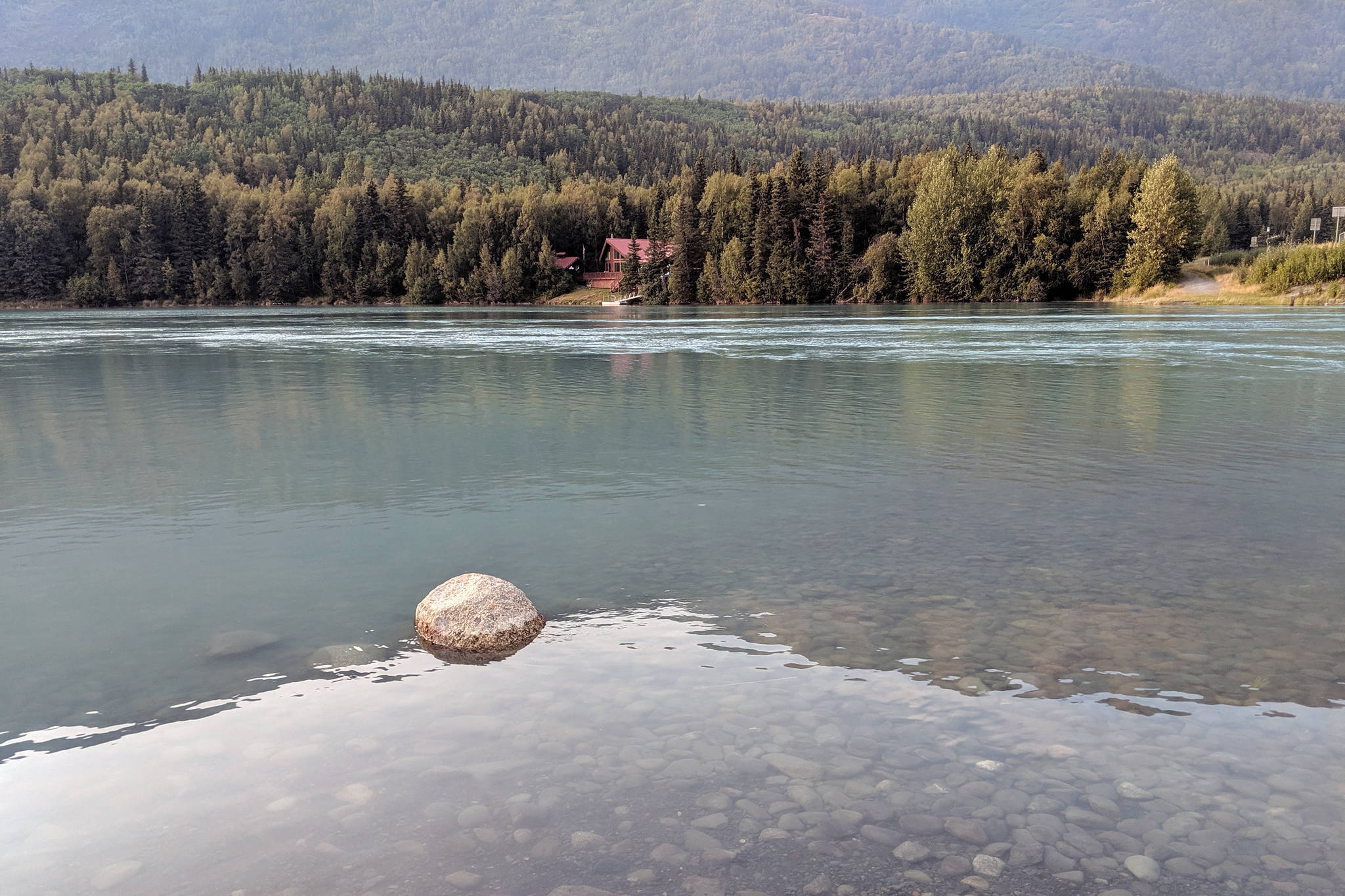
Wednesday, a flood advisory was issued by the National Weather Service for the areas of the Kenai Lake and Kenai River from Cooper Landing to Skilak Lake.
The advisory is effective until Friday.
A Flood Advisory means river or stream flows are elevated, or ponding of water in urban or other areas is occurring or is imminent, according to the advisory.
Kenai Lake and Cooper Landing are some of the locations that may experience flooding, the advisory said. Primrose Campground near Seward may also experience flooding, according to an update from the Kenai Peninsula Borough Office of Emergency Management.
The Snow Glacier dammed lake is releasing at this time, causing water levels on the Snow River to steadily rise.
A significant water level increase is expected at Kenai Lake this weekend. Water may continue to rise on Kenai Lake and the Kenai River through the weekend and early next week.
On the Kenai River below Skilak Lake water levels will see a moderate increase by early next week.
“There is considerable uncertainty of water volumes released and drain rates during glacial dammed lake outbursts,” the advisory said.
The flood advisory is due to the Snow Glacier dammed lake releasing, located in the headwaters of the Snow River near Moose Pass, which is an outburst event that occurs every couple of years, according to the borough’s update.
The Snow River flows from an 8-mile long glacier in the Kenai mountains. The glacier dams a side valley that fills with rainwater and snowmelt that forms a lake half a mile long and up to 450 feet deep, according to information provided by the Chugach National Forest. When the lake fills up, water will flow through a main drainage under the glacier. The lake flow takes a week or two to drain, before the empty channel is crushed by the weight of the glacier and the dammed lake begins to fill again.
The release event is known as a jökulhlaup, an Icelandic term describing a sudden water release from glaciers or glacier-dammed lakes, according to information provided by the Chuagach National Forest.
Snow River jökulhlaups have been recorded since 1949, and releases its water every two to four years.
According to the Chugach National Forest information, jökulhlaups on the Snow River are of special concern because the flood waters may impact residential and commercial developments on Kenai Lake and the Upper Kenai River.
“Records show that jökulhlaups have produced floods on Snow River twice the size of the biggest rainfall floors and four times the size of the largest snowmelt floods,” according to the Chugach National Forest information guide on jökulhlaups.
The lake typically releases in the fall, and last released in September 2017. The 2019 impacts are expected to match the levels of the 2017 event, the borough’s update said.

