Alaska Department of Transportation and Public Facilities Commissioner Mark Luiken (front left) signs the final Environmental Impact Statement for the long-awaited Cooper Landing Bypass project as Federal Highway Administration Division Administrator Sandra Garcia-Aline (front right) and (back row, from left) Rep. Gary Knopp (R-Kenai), Gov. Bill Walker and Sen. Peter Micciche (R-Soldotna) look on Wednesday, March 7, 2018 in Juneau, Alaska. The Cooper Landing bypass, officially known as the Sterling Highway Milepost 45&

Alaska Department of Transportation and Public Facilities Commissioner Mark Luiken (front left) signs the final Environmental Impact Statement for the long-awaited Cooper Landing Bypass project as Federal Highway Administration Division Administrator Sandra Garcia-Aline (front right) and (back row, from left) Rep. Gary Knopp (R-Kenai), Gov. Bill Walker and Sen. Peter Micciche (R-Soldotna) look on Wednesday, March 7, 2018 in Juneau, Alaska. The Cooper Landing bypass, officially known as the Sterling Highway Milepost 45&

Juneau Creek route ID’d as preferred in Cooper Landing road EIS

The final environmental permitting document for the long-planned Cooper Landing bypass ditches a controversial decision to relocate the Sterling Highway around Cooper Landing via a new crossing of the Kenai River, instead putting the highway farther in the hills above town.

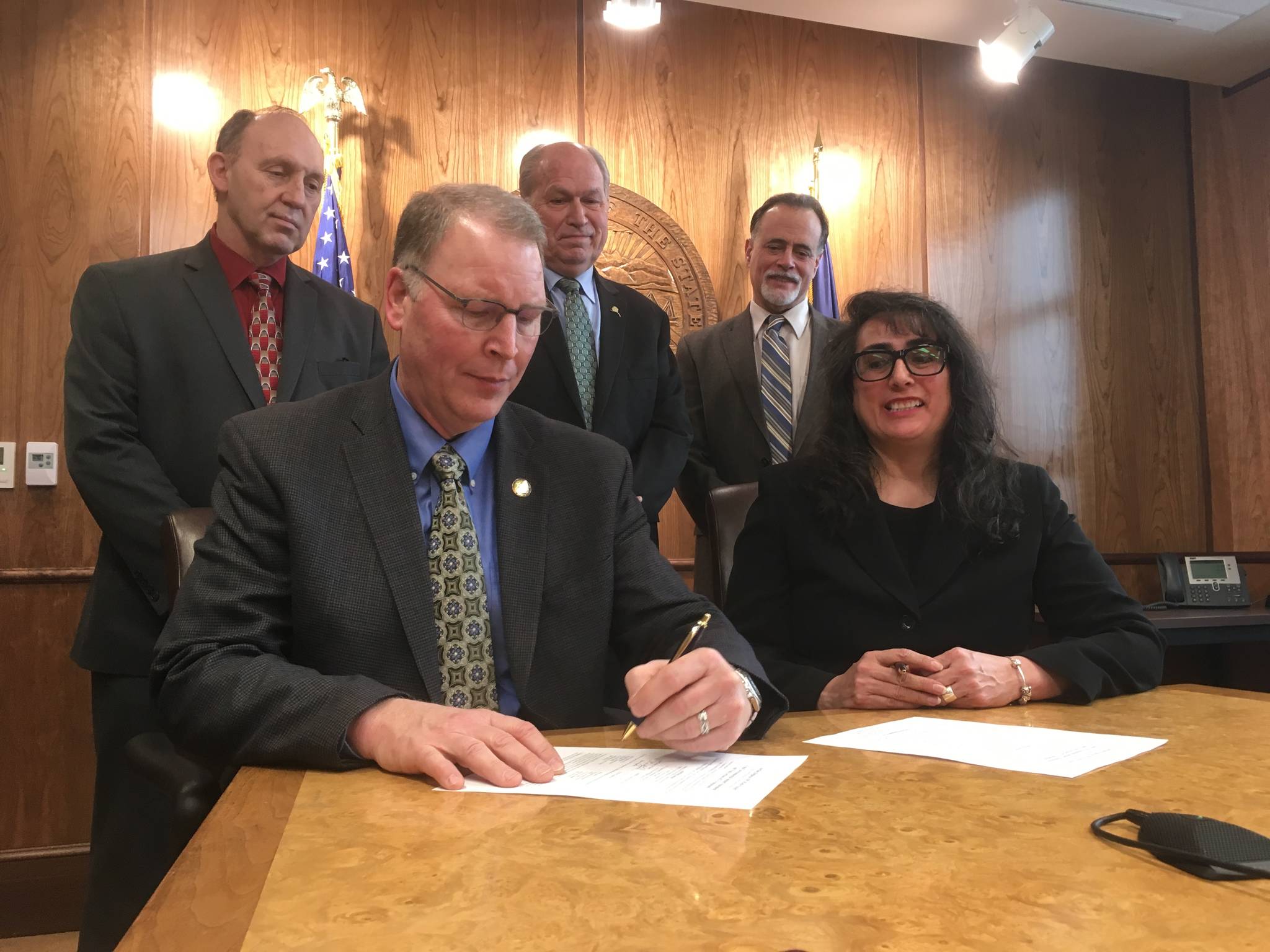
On Wednesday, representatives of U.S Federal Highway Administration and Alaska Department of Transportation and Public Facilities — the federal and state agencies that have collaborated since the 1970s on the highway relocation, formally known as the Sterling Highway Milepost 45-60 project — signed its final Environmental Impact Statement in a ceremony in Juneau. The effort to take the Sterling Highway around rather than through Cooper Landing, where the road becomes winding, narrow, restricted to 35 miles per hour and clogged with RVs, boat trailers and passenger vehicles during the summer months, gave rise to “one of the longest active environmental documents in the United States,” according to a press release from Gov. Bill Walker. DOT and the Federal Highway Administration released previous draft Environmental Impact Statements, which were never signed or finalized, in 1982 and 1994.

“The project was particularly challenging to develop due to its proximity to the Kenai River and Lake, Kenai National Wildlife Refuge, and Resurrection Pass National Recreation Trail, as well as steep terrain, nearby historic and cultural resource sites, and limited right-of-way,” stated DOT’s announcement of the signing.

ADVERTISEMENT
0 seconds of 0 secondsVolume 0%
Press shift question mark to access a list of keyboard shortcuts
00:00
00:00
00:00
 

Of the four paths that the agencies unveiled in April 2015, Wednesday’s EIS selects the Juneau Creek route as a preferred alternative, changing the preference DOT and the Highways Administration announced in December 2015. The route identified then, called G-South, would leave the existing Sterling Highway around milepost 52 and cross the Kenai River over a new bridge about a half-mile to the east, avoiding protected land in the Kenai National Wildlife Refuge that would require crossing approval from the U.S Congress.

Almost as soon as it was announced, various groups including the Kenai Peninsula Borough, the governments of the Kenaitze and Salamatof tribes, the Kenai River Special Management Area Advisory Board, the Kenai River Sportfishing Association, the governor and the Alaska Congressional delegation all voiced opposition to the selection. These groups favored the Juneau Creek route — which wouldn’t require a new bridge and would pass further from the river by running further north into the Refuge — citing concerns about the possibility of river pollution from wrecks on the G-South route, especially of tanker trucks.

The Juneau Creek route will be possible without congressional approval thanks to a land trade, in which the U.S. Fish and Wildlife Service will give the prospective highway area to the Alaska Native corporation Cook Inlet Region Incorporated in exchange for CIRI land on the Killey River.

In August 2017, the two agencies reconsidered the G-South decision and announced that the state rather than federal Department of Transportion would lead environmental permitting for future projects under the National Environmental Protection Act, which defines the EIS process. For the Cooper Landing bypass project, however, the Federal Highway Administration remains the lead permitting agency and will make the final decision about the Cooper Landing bypass route, said DOT spokesperson Shannon McCarthy.

“But the other projects, from this point forward, we will have primacy over,” McCarthy said.

The final EIS will be publicly posted on DOT’s website by early next week, starting a public comment period that will last until April 16. The choice of the Juneau Creek alternative may still change as a result of those comments — the Highway Administration will finalize the route choice in a record of decision expected in May, McCarthy said.

Reach Ben Boettger at bboettger@peninsulaclarion.com.

More in News

Jacob Caldwell, chief executive officer of Kenai Aviation, stands at the Kenai Aviation desk at the Kenai Municipal Airport on Thursday, Sept. 13, 2022, in Kenai, Alaska. (Jake Dye/Peninsula Clarion)
Kenai Aviation selected to provide air service to Seward

Scheduled flights between Seward and Anchorage will begin May 1.

Monte Roberts, left, and Greg Brush, right, raise their hands during an emergency meeting of the Kenai River Special Management Area Advisory Board’s guide committee at the Kenai Peninsula Region Office of Alaska State Parks near Soldotna, Alaska, on Feb. 25, 2025. (Jake Dye/Peninsula Clarion)
KRSMA board pushes back on new guide stipulations, calls for public process

Stipulations 32 and 40 were included in an updated list emailed to Kenai River guides.

KPBSD Board of Education member Patti Truesdell speaks during a town hall meeting hosted by three Kenai Peninsula legislators in the Kenai Peninsula Borough Assembly Chambers in Soldotna, Alaska, on Saturday, March 29, 2025. (Jake Dye/Peninsula Clarion)
Education hot topic at local legislative town hall

More than 100 people attended a three-hour meeting where 46 spoke.

The Soldotna Field House is seen on a sunny Monday, March 31, 2025, in Soldotna, Alaska. (Jake Dye/Peninsula Clarion)
Field house work session set for April 9

A grand opening for the facility is slated for Aug. 16.

HEX President and CEO John Hendrix is photographed at Furie’s central processing facility in Nikiski, Alaska, on Wednesday, July 10, 2024. (Jake Dye/Peninsula Clarion)
Furie announces new lease to use Hilcorp rig, will drill this spring

A jack-up rig is a mobile platform that can be transported and deployed in different areas.

The ORPC proposed American Tidal Energy Project site is located at East Forland, Cook Inlet, just north of Nikiski, Alaska. Photo provided by ORPC
Marine energy developer pursues Cook Inlet tidal project

ORPC recently filed a draft pilot license application for a tidal energy project site near Nikiski.

The entrance to the Homer Electric Association office is seen here in Kenai, Alaska on May 7, 2020. (Peninsula Clarion file)
HEA announces rate increase effective April 1

The Regulatory Commission of Alaska on March 20 approved a request to increase their rates.

Sockeye salmon are gathered together at a test site for selective harvest setnet gear in Kenai, Alaska, on Tuesday, July 25, 2023. (Jake Dye/Peninsula Clarion)
Days expanded for commercial dipnet fishery

The fishery will be allowed to operate from 7 a.m. to 7 p.m. Monday through Friday.

Natural gas processing equipment is seen at Furie Operating Alaska’s central processing facility in Nikiski, Alaska, on Wednesday, July 10, 2024. (Jake Dye/Peninsula Clarion)
Glenfarne takes majority stake of Alaska LNG Project, will lead development

The Alaska Gasline Development Corporation announced Thursday they had reached an agreement with the New York-based company.

Most Read