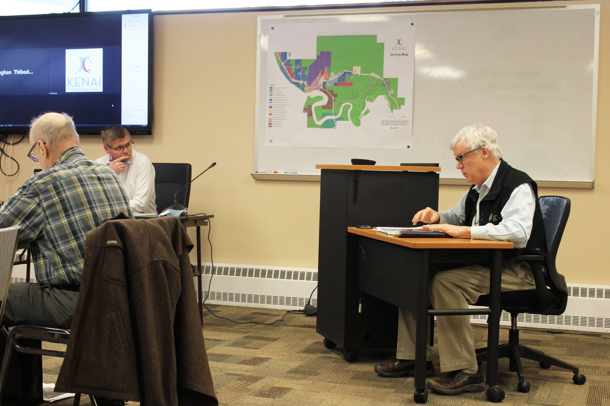
The City of Kenai is working to finalize a comprehensive inventory of every piece of land it owns. Kenai City Council members held a public work session Monday evening to review changes to the plan submitted by members of the public, city commissioners and themselves.
Most changes addressed the status of certain pieces of land, particularly whether or not the city should retain or dispose of them. Council members debated, for example, whether or not to reclassify the strip of trees that runs parallel to Walker Street and separates houses from the McDonald’s parking lot. That strip of land is broken into two parts, with one part containing a power line that would make development difficult.
The City of Kenai owns 369 subdivided parcels of land — covering about 5,540 acres — that include wetlands, tidelands and lands “suitable” for commercial, industrial, residential and recreational purposes, according to city documents. Almost 2,000 acres’ worth of land were acquired from the Federal Aviation Administration in 1963.
Under the management plan, the chunks of city land are designated for retention, disposal, lease-only disposal or mixed. Disposal land designated as lease only refers to land that the city is interested in leasing, but that cannot be sold. Mixed parcels refer to land that can be subdivided into pieces to be sold.
Ostrander told council members that all proposed amendments will be incorporated into a memo for consideration alongside the plan. For example, members of the city’s Parks & Recreation Commission and Beautification Committee requested that a chunk of land near the intersection of First Avenue and North Spruce Avenue be retained, rather than disposed of, to be used for a future campground.
Members of the city’s Planning and Zoning Commission requested that a chunk of land near the Kenai Little League fields on South Spruce Street be retained, rather than disposed of, to be used for RV and dipnet parking. The commission also recommended that a strip of land along the Kenai Spur Highway near Walmart be retained to provide a buffer between the highway and surrounding neighborhoods.
Multiple groups recommended that the name of the plan be changed from the “City of Kenai Land Management Plan” to the “City of Kenai Land Management Inventory and Recommendations.” Additionally, Ostrander said the definition of “dispose” will be updated to include land that is donated or traded.
When completed, the parcels will be available to view on Kenai’s GIS, or geographic information system. The site will show users an overview of the city and allows them to toggle city and parcel boundaries and to filter parcels shown by classification and size. Additional filters show a parcel’s proximity to city and water sewer lines, as well as topography and location relative to wetlands.
Kenai City Manager Paul Ostrander said during a public meeting last year that a key benefit of the new system will be the turnaround time inquiries take at the planning department level. As an example, he used the effort by the Triumvirate Theatre to obtain city land for a new production house: The theater prepared a list of criteria for land sought that the department had to meet.
The final iteration of the plan, with amendments, is subject to final approval by the Kenai City Council.
The city’s full draft land management plan can be found on the city’s website at kenai.city. The council’s full work session can be viewed on the City of Kenai’s YouTube channel.
Reach reporter Ashlyn O’Hara at ashlyn.ohara@peninsulaclarion.com.

