Planning for the weather forecast, tidal movements and a look at the resident wildlife on a new kayak route just became possible — before even leaving the driveway.
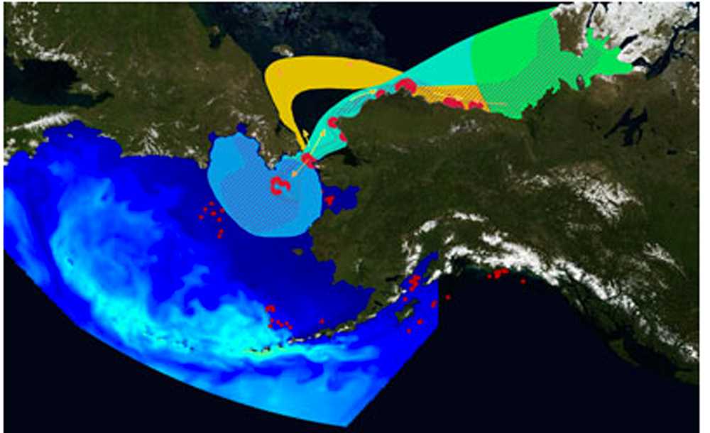
Anyone can virtually travel the coast of the Kenai Peninsula using the Alaska Ocean Observing System’s new comprehensive portal called the “Ocean Data Explorer.”
The aim is to provide information in a single interface for personal or professional interest in the Alaska regions oceans, said Darcy Dugan, AOOS Program Manager, from coastal managers and planners to industry or conservation to recreationists and the public. The website contains layers of data from more than 500 statewide organizations.
“We wanted to create a one-stop shop for coastal and marine data,” Dugan said. “Our goal is to have as comprehensive data as possible, while keeping it simple enough that the average person is not intimidated.”
One of 11 regional observing branches of the national organization, Integrated Ocean Observing System, or IOOS, AOOS covers more coastline than all other IOOS organizations combined, Dugan said.
When a user first opens up the portal, they can chose from three maritime regions, the Arctic, Bering Sea and the Gulf of Alaska. Local organizations such as Kachemak Bay Research Reserve in Homer, Gulf Watch Alaska based out of Homer, and Cook Inlet Regional Citizens Advisory Council (CIRCAC) based in Kenai contributed information.
Many portals offer video tutorials. The Cook Inlet ShoreZone Imagery application offers photographs and aerial video visually documenting the regions beaches.
“Several hundred real-time and terrestrial sensors are located in the Gulf of Alaska region so users can view information from weather stations, stream gauges, buoys and webcams,” Dugan said.
Tammy Neher, Science Coordinator at Gulf Watch Alaska, said the portal offers an affordable way to publish research, under the supervision of more advanced developer.
AOOS is even adapting new tools for Gulf Watch’s biologically and ecologically focused data, Neher said; AOOS is used to displaying single-variable, sensor-driven information, she said.
Susan Saupe, Director of Science and Research at CIRCAC said it has been working with AOOS for nearly four years.
CIRCAC is an example of how the structure for a major set of data can be applied on a smaller sample and provide an approach for gathering necessary information to efficiently handle an environmental problem such as an oil spill, Saupe said.
The AOOS portal provides access to multiple types of data such as wind speed, wave flow, and weather conditions, all of which contribute to how CIRCAC would make decisions during a spill response, Saupe said.
Saupe said previously CIRCAC would have to gather paper maps and hard copy reports and piece together tidbits of information. Now they can overlap the interactive maps on the website and see how one piece of data directly relates to another.
A week ago the information could be found, but in very different locations, Dugan said. The portal is the culmination of a decade of work geared toward regional stakeholder, she said.
The majority of funding over the last decade came from National Oceanographic and Atmospheric Administration, or NOAA, and various grants, Dugan said.
Dugan said AOOS plans to update the portal consistently dependent on community feedback and as new research is available.
Kelly Sullivan can be reached at Kelly.Sullivan@peninsulaclarion.com.

