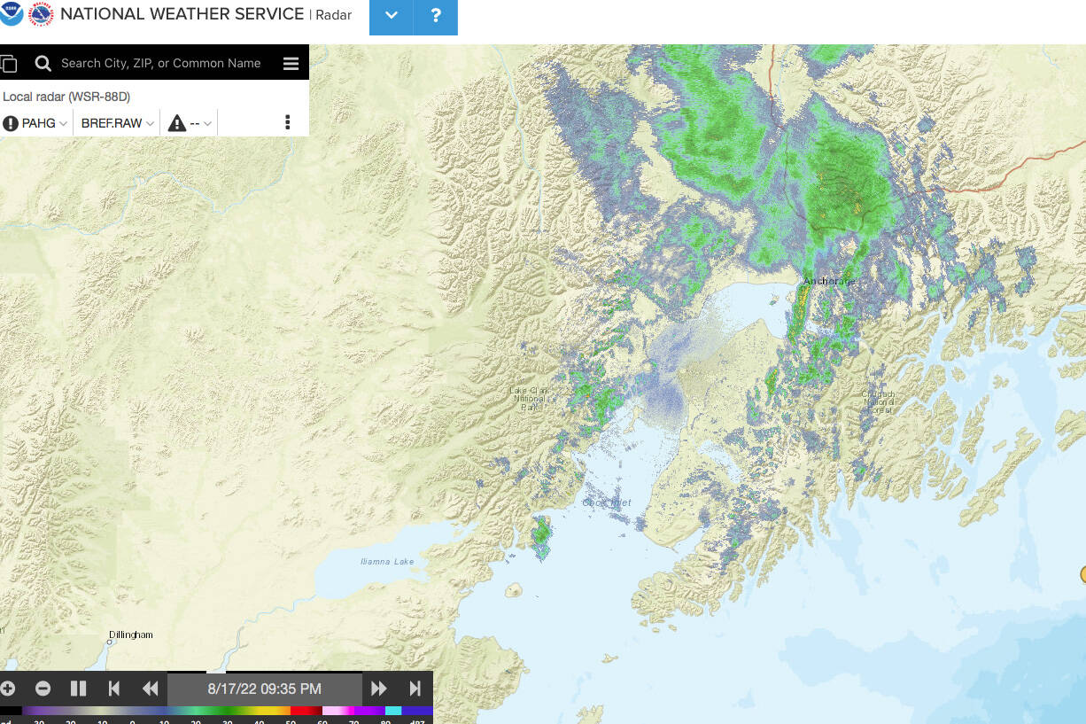
Rain is expected to continue to fall on the Kenai Peninsula, and around the rest of Southcentral Alaska, through the weekend and potentially until next month.
Kaitlyn O’Brien, a meteorologist with the National Weather Service, said that an area of low pressure over the Gulf Coast is lifting northward and will continue to bring lots of rain and moisture along with it.
Areas of low pressure are strong indicators of rain because air inside rises, allowing water vapor to cool and condense, forming clouds and then precipitation.
For the current area of low pressure, O’Brien predicts that Wednesday night would be “the heaviest of it.” As soon as that rain is expected to cease, there is “another piece of energy in the upper level of the atmosphere that’s gonna bring another round.”
Even after that, another area of low pressure currently over the Bering Sea is moving eastward, which is going to bring more cloudy and rainy conditions “at least through the early parts of Saturday.”
Looking as far ahead as September is “really far out” when it comes to analyzing weather patterns, according to O’Brien, but she says there’s no indication that the rain will let up in the near future. “There might be periods of lighter rain compared to what we’re seeing right now, but overall cloudy,” she said. “I’m not seeing much of a change in this pattern, at least not anytime soon.”
While this may put a damper on some of the late summer fun on the Kenai Peninsula, there is value to the quantity of rain offsetting some of the dry conditions experienced earlier in the year. O’Brien said that even though we aren’t currently in a drought, the rain ”absolutely helps a lot.”
Reach reporter Jake Dye at jacob.dye@peninsulaclarion.com.

