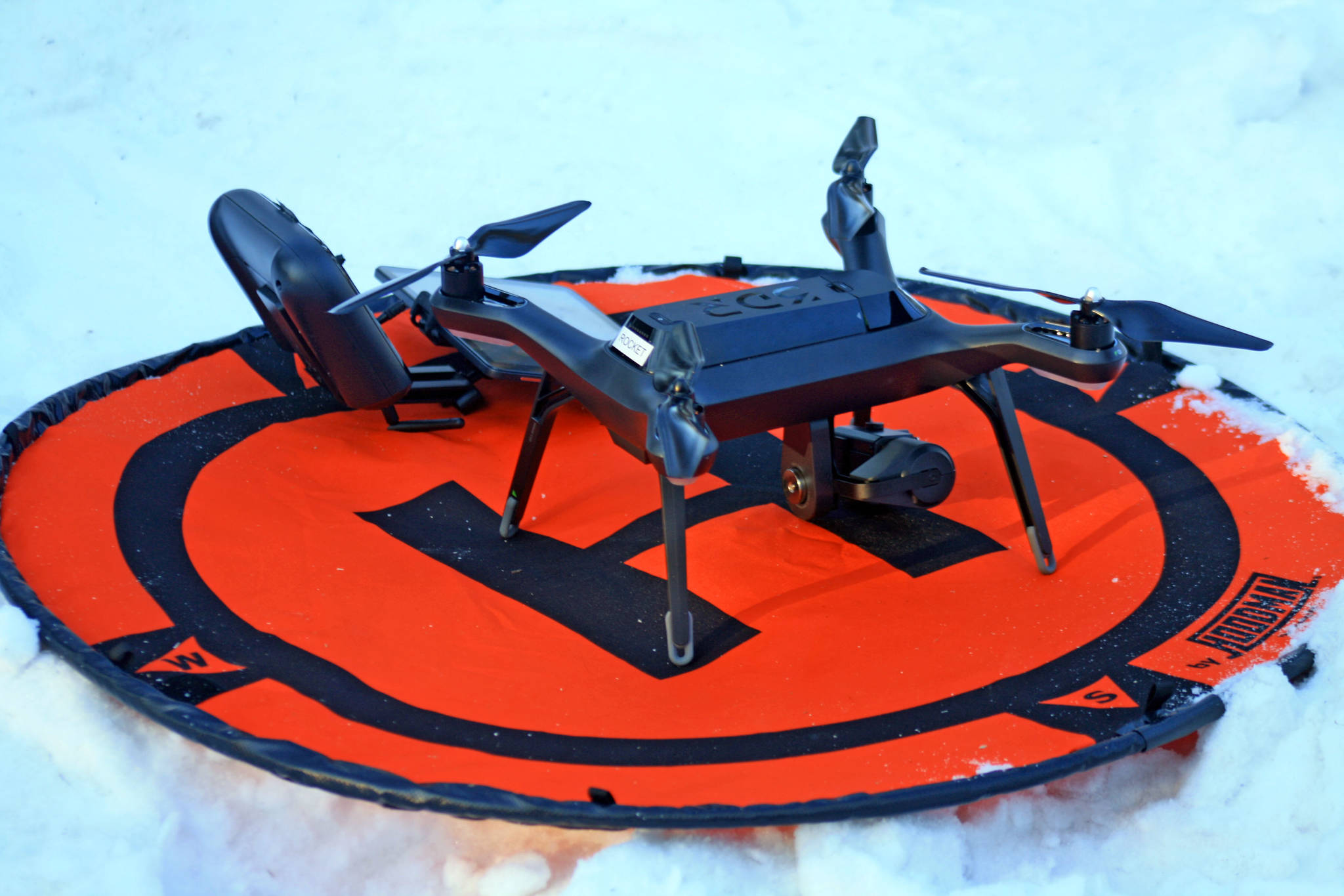
From 100 feet in the air, Kenai National Wildlife Refuge ecologist Mark Laker can find a piece of smoldering ash or a tiny spot of excess heat that could spark a wildfire.
Laker pilots two 3DR surveillance drones — one of which is equipped with heat-sensing technology — that the refuge has been using over the last year to monitor wild areas.
On Thursday, Laker piloted the drone over a 3.5-acre section of the refuge near Funny River Road where a hazardous fuel reduction project was taking place. As fire officials monitored small piles of burning wood and ash, Laker watched a shifting array of colors on a screen.
“As I pan around it will see the fires,” Laker explained, pointing out bright red and yellow colors on the screen.
From where he was standing, Laker could tell that one fire was still burning at 370 degrees and that an ash pile had cooled to a frosty 27 degrees.
Ash piles can sometimes be several feet thick and retain significant heat, but don’t look hot to the naked eye.
“Just because a pile’s not smoking doesn’t mean it’s not hot,” Mike Hill, assistant fire management officer, said. “So, that’s what the camera can get. That’s where a camera is better than a human.”
Alaska soil can maintain heat over the winter, so it’s especially important to make sure that all embers have been extinguished, Hill said.
“These things are really innocuous looking after they’re out, but they have the potential to be really hot,” he said.
Without the heat-sensing drone, refuge fire officials have to check each individual pile, either with a handheld heat sensor or by testing the ashes with their hands. Hill estimated there were several hundred piles of wood and ashes needing inspection in the area. Whereas they would have to be checked individually, now Laker can sweep through the area in a matter of minutes.
Although this week’s burn only covered about 5 acres total, a 50-acre section of land could also be surveyed in minutes, Laker said.
Right now the drone is being used on a small scale, but eventually the technology could be expanded for wider use — like during wildfires or to check hotspots across the refuge, said Shay Hurd, refuge officer with the U.S. Fish and Wildlife Service. It could also help with search and rescue operations.
Already the drones have helped simplify other refuge operations. In 2017, the refuge used drones to survey Aleutian terns and legacy tree plantations, saving refuge workers from disturbing the birds or trudging through chest-high fireweed in bear county.
“All of which would have taken 10 times as long, if not more to do,” Laker said. “It’s more hazardous for us. The terns don’t like people walking through their nesting ground.”
Reach Erin Thompson at erin.thompson@peninsulaclarion.com.

