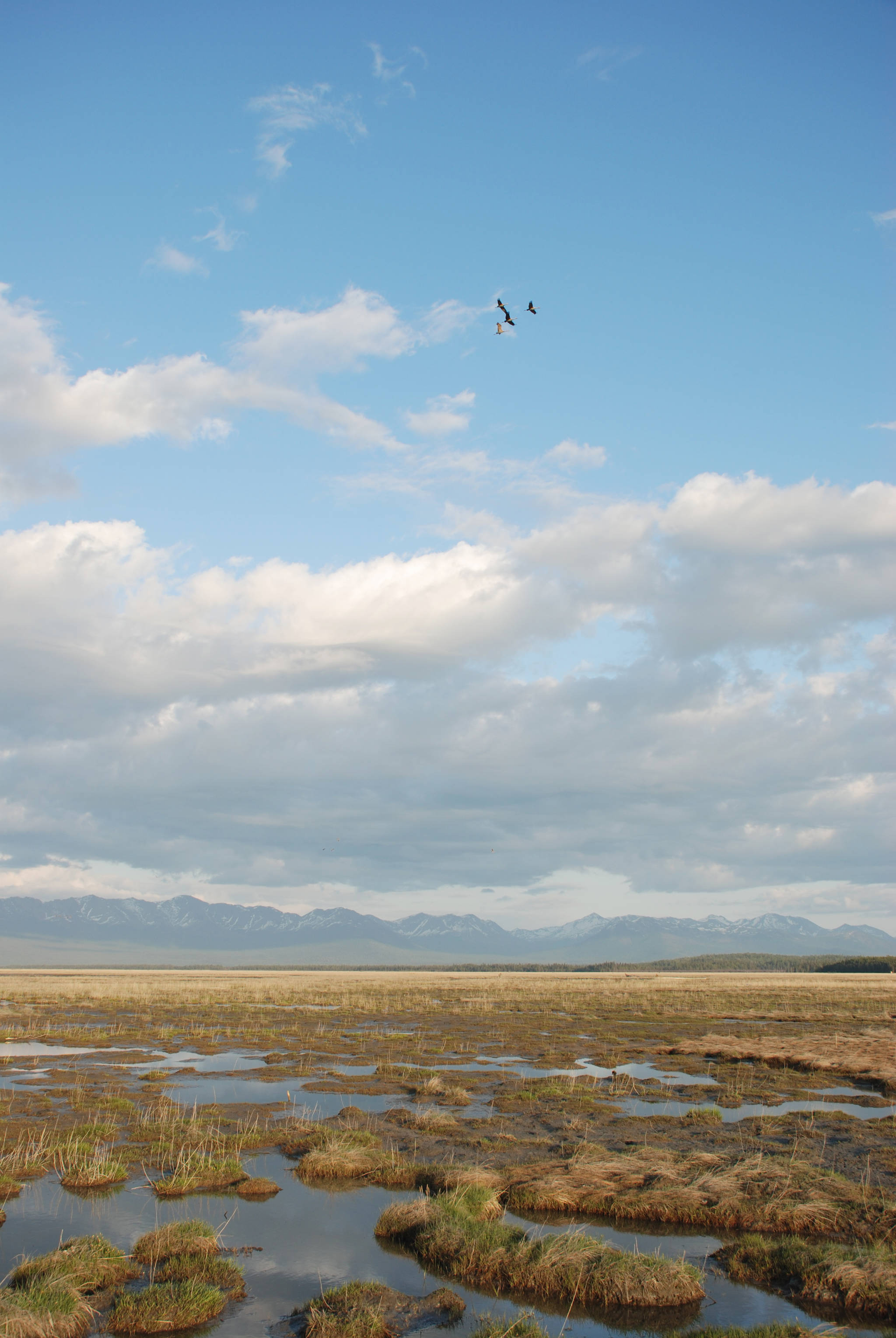
What happens when the largest estuary on the Kenai Peninsula suddenly drops 2.3 meters in elevation and then rises slowly over the next half century?
This scenario played out exactly like that when the Good Friday Earthquake caused the Chickaloon Flats on the northern Kenai Peninsula to subside (sink!) dramatically in 1964. Chickaloon Flats is a 25,000-acre tidal estuary in Turnagain Arm, the only part of the Kenai National Wildlife Refuge that touches saltwater.
Over the next four decades after this 9.2 magnitude earthquake, the western end of Chickaloon Flats rose 30 centimeters while the eastern end rose 75 to 80 centimeters due to tectonic uplift. This, coupled with glacial rebound and sediment accretion, has resulted in a net elevational change today of minus 21 centimeters in the west to minus 47 to 52 centimeters in the east. When you look eastward from Point Possession, it really does look like the land slopes downward toward the Chickaloon River and base of the Kenai Mountains.
Roland Quimby, a graduate student at the University of Alaska, studied waterfowl and shorebird use of Chickaloon Flats during 1970‒71. Conveniently, he used aerial photographs to map the vegetation communities as these are the habitats used by birds for nesting, and loafing and feeding during migration.
At that time, six years after the earthquake, over half of Chickaloon Flats was classified as mud or mostly mud with creeping alkali grass, mostly along the salty interface with Turnagain Arm. Farther landward, less than half of the flats was vegetated by mostly salt-tolerant plants such as Ramenski sedge, large alkali grass and seaside arrowgrass. Near the tree line that runs along the southern edge, there were (and are) mostly freshwater pools with floating marshes of various sedges, including Lyngbye’s sedge.
Fast forward 40 years. Sadie Ulman, a graduate student at the University of Delaware, returned to Chickaloon Flats in 2009‒2010 to assess how both bird use and their habitats have changed since Quimby. Using newer analytical tools, Sadie was able to show how the vegetation communities have changed by comparing satellite imagery from 1970 and 2005.
Not surprisingly, over this 35-year post-earthquake period, Chickaloon Flats was recolonized by early successional vegetation. Exposed mud on the flats declined from 52 percent to 31 percent, even as large alkali grass, creeping alkali grass and seaside arrowgrass almost doubled their coverage on the flats. These results were published as a journal article in Northwest Science this year.
Sadie and her co-authors conclude that increasing vegetation on the estuary is likely decreasing use by staging and migrating shorebirds. Nonetheless, the overall value of the Chickaloon Flats is still regionally significant, representing 7 percent of the estuarine tidal area from Cook Inlet to Prince William Sound. Sadie documented 95 bird species during her time there, 26 of which breed on Chickaloon Flats. Estimated maximum daily shorebird numbers were 5,600 during spring migration and 20,300 during fall migration! That’s not chump change.
As is most of the Kenai Peninsula, Chickaloon Flats is continuing to rise in elevation faster than current rates of sea level rise. So it should be around for a while despite a warming climate.
Dr. John Morton is the supervisory biologist at Kenai National Wildlife Refuge. Find more Refuge Notebook articles (1999–present) at https://www.fws.gov/refuge/Kenai/community/refuge_notebook.html.

