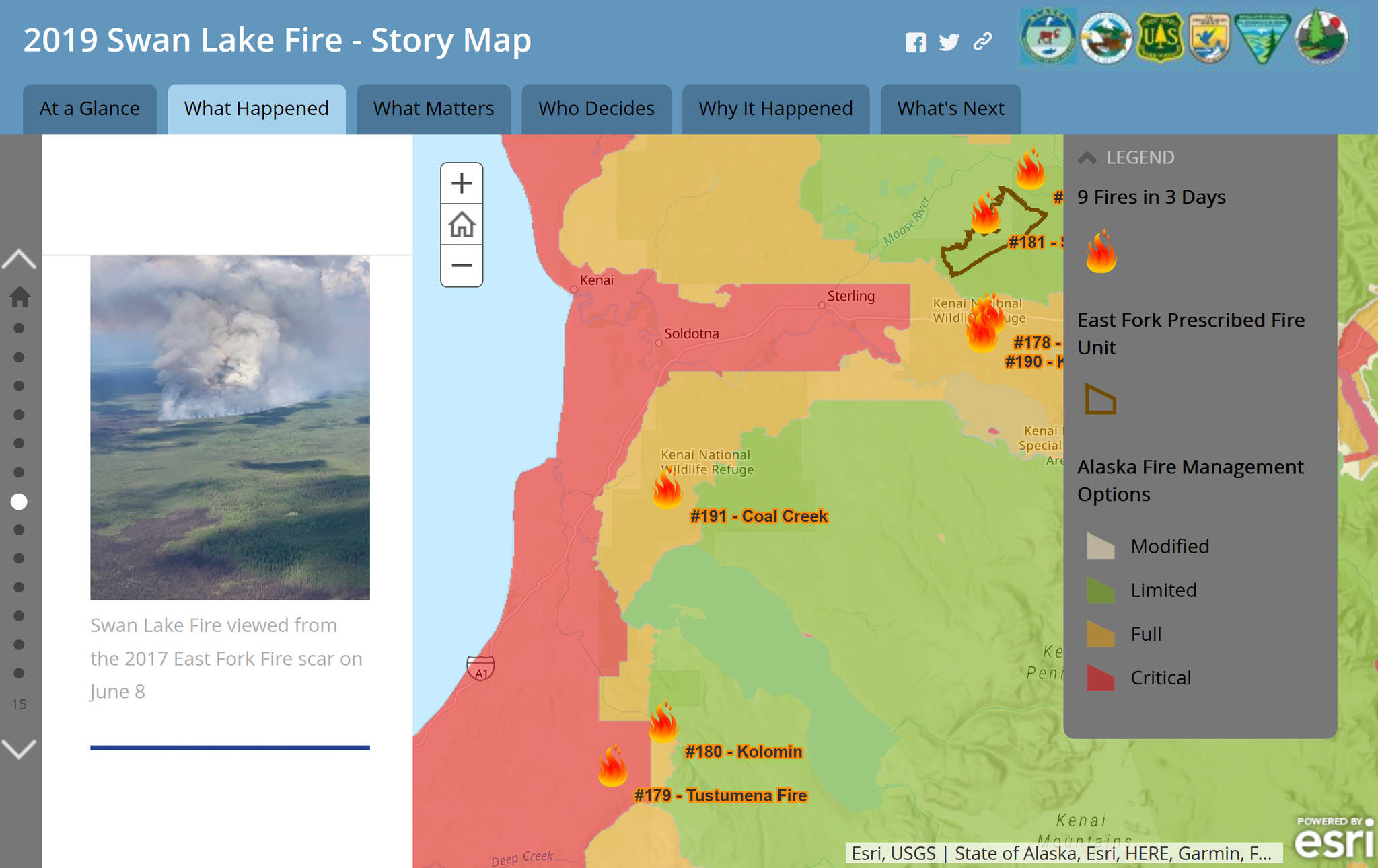
The Swan Lake Fire was reported at 6:52 p.m. on June 5. Over the next 145 days, more than than 3,000 firefighters and support personnel were assigned to the fire, which grew to over 167,000 acres.
Those who live on the Kenai Peninsula realize Swan Lake is not the first large fire to occur recently in this boreal forest. Just three years ago, the human-caused 8,800-acre Card Street Fire started in the community of Sterling. Also burned in memory is the 2014 Funny River Fire, which grew to over 196,000 acres before typical wet summer weather set in. Both fires spread rapidly despite aggressive initial suppression actions.
These three fires all shared things in common: they spread primarily through mature stands of black spruce, actions were taken to protect nearby life and property, and they intersected vegetation treatments intended to reduce the overall fuel flammability while providing firefighters a safer place to work.
Black spruce, which forms continuous stands in forests of Southcentral Alaska, is a fire-adapted species that typically burns every 50 to 150 years. Fire causes black spruce cones to release their seeds. Nourished by nutrient-rich soil, the seedlings will grow to maturity in another 50 years or so, then the cycle continues with the next lightning strike and gust of wind.
There are approximately 175 miles of wildland-urban interface on the Kenai Peninsula, primarily along the Kenai National Wildlife Refuge border. What this means is that many wildfires on the refuge may be in proximity to values such as private property, infrastructure or recreational facilities.
Accordingly, most fires are managed in a way that their spread toward values is contained, either with direct suppression actions or by using natural or man-made barriers.
Fires closest to values are fully suppressed when possible. Direct actions were taken early on in the Swan Lake fire to contain spread south toward the Sterling Highway. When these became unsafe and ineffective due to intense fire behavior, firefighters retreated to dozer lines north of the highway to conduct a burn-out operation to halt the fire’s spread to the south.
Fire progression through mature spruce stands southwest toward Sterling, on the other hand, was successfully stopped using burn-out operations from pre-existing fuel breaks and natural features.
Fire spread to the northeast away from private property was not contained but held up in drainages and along the Enstar Pipeline right-of-way. Spread to the east was anticipated to be stopped by less flammable vegetation at higher elevations such as alder, lichens and dwarf shrub, which typically act as barriers to fire spread.
When stands of hemlock and mixed spruce in the mountain drainages began to carry fire, hotshot crews conducted direct suppression actions in the Mystery Creek drainage.
The area north of the Sterling Highway above Upper Jean Lake was deemed unsafe for foot travel by firefighters. The selected action was aerial suppression: hundreds of thousands of gallons of water were dropped by helicopters in this area to check the fire’s spread.
As hot and dry weather continued, it was determined to be unsafe to take any ground actions along the fire’s eastern flank. Instead, areas were identified in each of the mountain drainages where the vegetation became scarce and firefighters could access those areas more safely so that suppression actions could be taken if needed.
This was in July and with the onset of a wetting rain, fire was not anticipated to spread across the mountains before being halted by typical summer precipitation.
The summer of 2019 was anything but typical for weather. Drought conditions returned and persisted through much of August, and both above-ground vegetation and the organic soils or the “duff layer” became extremely dry. This set the stage for rapid fire growth in mid-August when high winds and low relative humidity occurred with the passage of a dry cold front.
A commonality of the Card Street, Funny River and Swan Lake fires was the use of fuels treatments that had been made in years leading up to the fires.
Looking back to 2014, the fuel breaks in place ahead of the Funny River Fire proved paramount for firefighters’ success in preventing spread of the fire toward communities. Mechanical treatments also proved successful in stopping the Card Street Fire when it crossed Skilak Lake Road. The Sterling fuel break was used as a contingency line for the Swan Lake Fire.
The type of fuel treatment that is often overlooked is previous fires. The King County Creek Fire scar stopped the Funny River Fire from progressing east toward Skilak Lake, the Card Street Fire burned into the Funny River Fire, and the Swan Lake Fire intersected multiple fire scars which directly affected fire behavior (read more on the Swan Lake Fire Story Map).
The most notable, however, may be how the Swan Lake Fire scar may, through the transformation of large stands of black spruce, provide resilience to future wildfires for the adjacent communities for the next 50 years.
To learn more about the Swan Lake Fire, please check out the Swan Lake Fire Story Map at https://arcg.is/0XaaT1. Far more than a map, this resource was created by interagency partners and is a comprehensive look at the conditions that led up to the fire, values that were at risk, decisions that were made to protect life and property, and what’s next after this seasonlong event.
Kristi Bulock is the Fire Management Officer for the Southern Alaska Refuges. Find more Refuge Notebook articles (1999–present) at https://www.fws.gov/refuge/Kenai/community/refuge_notebook.html.

